
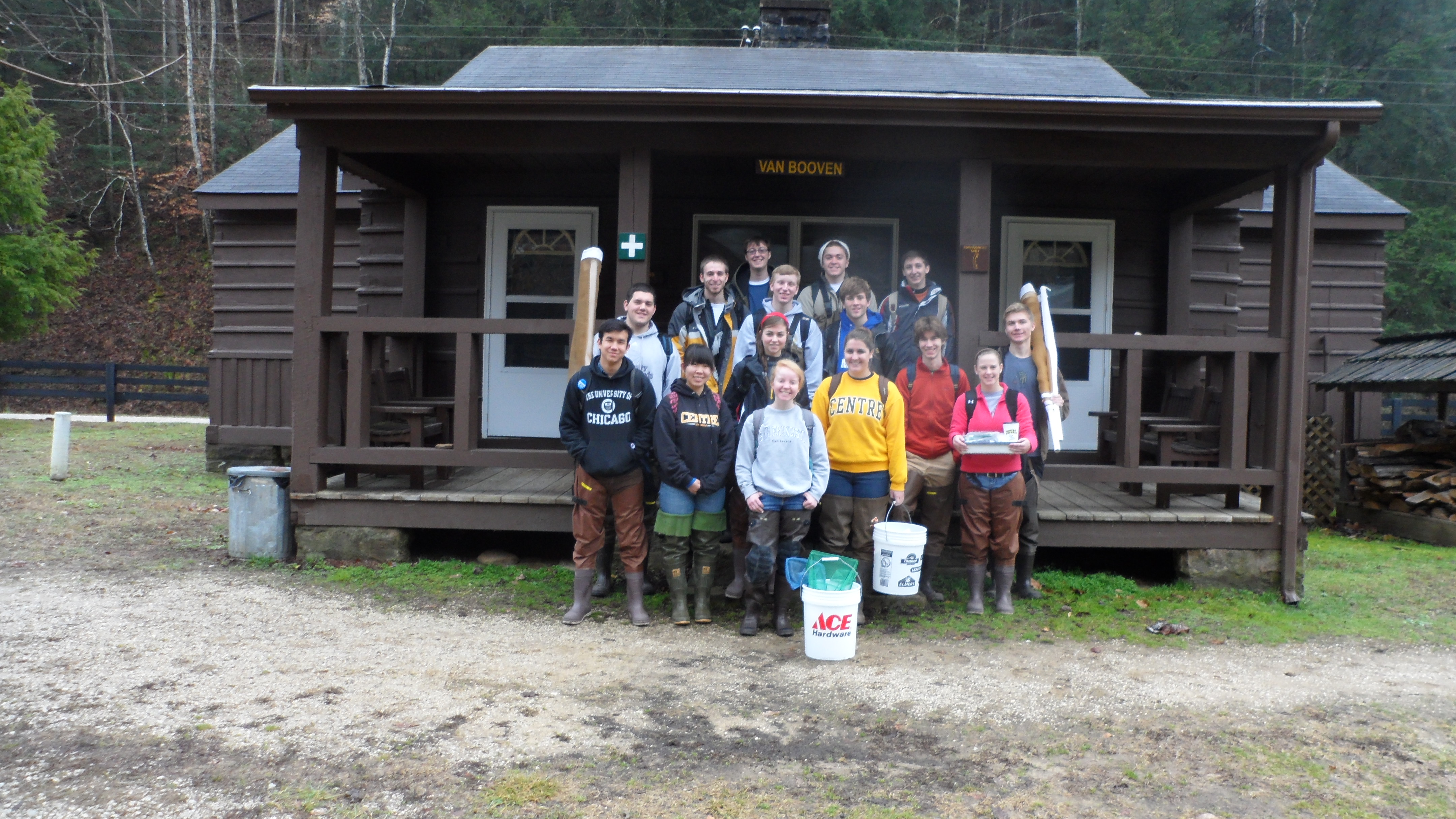
In January 2013, 15 first-year students from Centre College in Danville KY used Mappalachia for course projects. This course, called “King Coal in Appalachia: Effects on Economy, Environment and Society”, focused on the ways in which coal mining has shaped eastern Kentucky. The students traveled to the Loyal Jones Appalachian Center at Berea College at the beginning of the course. From Dr. Chad Berry, Dr. Chris Green, and Dr. Jan Pearce, they learned about the history of Appalachia and how to gather information about a region or town from the student-drawn maps.
The students then used the maps for two different projects. For the first project, students were asked to compare towns in counties with and without extensive mining to determine how mining affects the economic and social lives of Appalachian communities. For the second project, they traced the history of Cumberland, KY (Harlan County) from its beginnings as the town of Poor Fork (established 1826) to 2013. The students used two maps of Cumberland, KY drawn in 1949 and 1950 to understand the post-WWII changes that took place in Cumberland and many similar towns.
The students in this class were a diverse group; their interests ranged from biology, chemistry, and environmental sciences to medicine, pharmacology and psychology to economics, French, and theatre. But all of these students expressed a desire to experience and understand the beauty and complexity of Appalachia, a region close to home but often ignored or misunderstood. Mappalachia gave them a lens to see the region in clearer focus.
During their time together, the students developed a tight bond through shared laughter and experiences, free from the distracting influences of technology. They created a community in the spirit of Poor Fork, and they hope that their community grows stronger over time.